


Here are some links to some interesting websites and videos on maps.
Saturday, 26 July 2014
Mapping
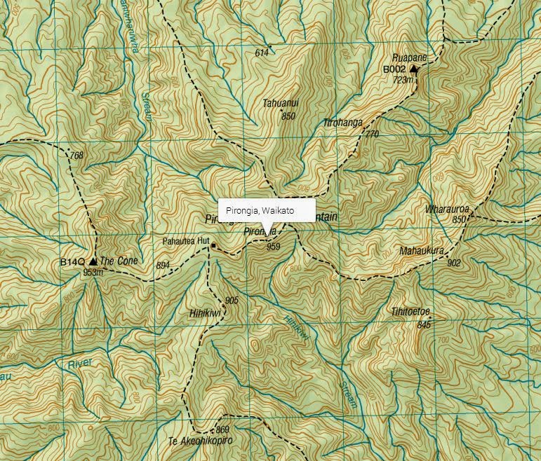
As part of our Geometry learning this term we are looking at mapping. We will learn about the purpose and features of maps, how to read them and how to identify Polar coordinates and Cartesian coordinates. We will learn about different types of maps such as topographical maps, weather maps and street maps. We firstly explored a variety of maps, including the oldest known maps and many antique maps. It was fascinating seeing how people historically understood the world. We also looked at how it is impossible to exactly represent the globe on flat paper. We looked at how the common Mercator map distorts the size of countries towards the poles. China, Europe, USA, India and Australia can all fit into the size of Africa! We will explore the Te Pahu area using maps and use these as a basis to create our own maps. Here are a few maps we explored.
Subscribe to:
Post Comments (Atom)
No comments:
Post a Comment